Bengaluru · Pan India · DGCA Certified Operators
Mapping Every
Axis. X. Y. Z.
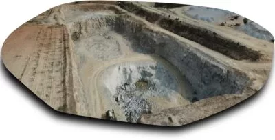
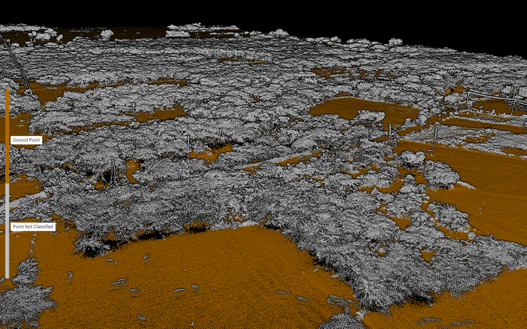
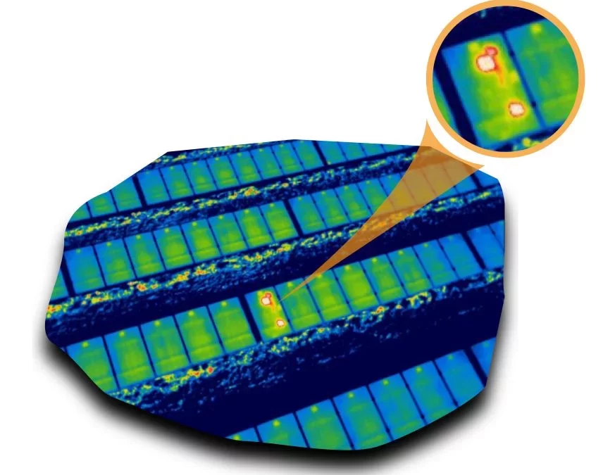
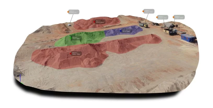
India's precision drone survey and mapping specialists. From LiDAR point clouds to thermal analytics — we capture the full three-dimensional truth of your terrain.
0+
Clients
0+
Acres Covered
PAN India
Coverage
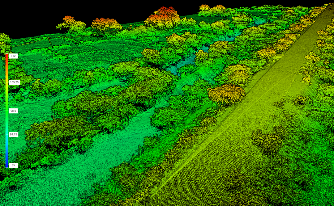
Before
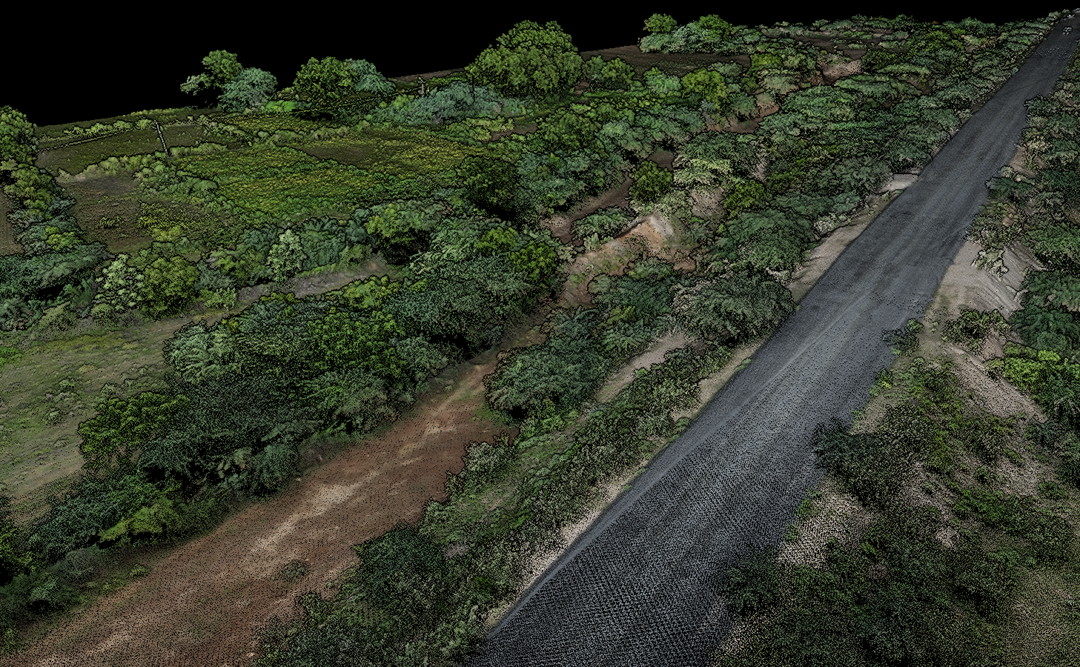
After
Live Specs
GSD (RGB)2.5 cm
XY Accuracy±5–10 cm
Z Accuracy±10–15 cm
Coverage/day2000+ ac