Sensor Platforms
Three Modalities. One Truth.
01
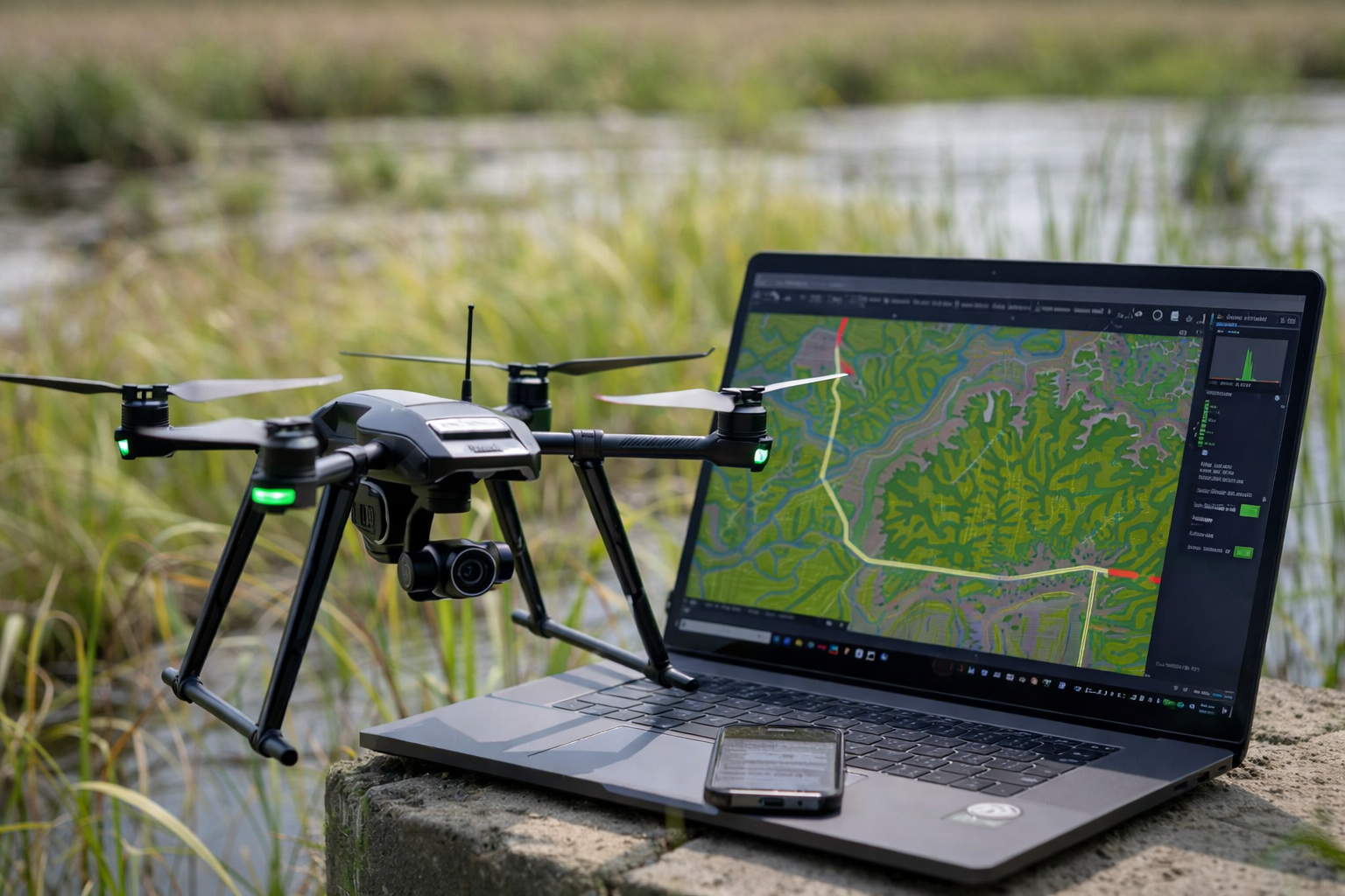
RGB
High-resolution colour cameras capture overlapping images processed into photogrammetric 3D models, orthomosaics, and surface models. The workhorse for topographic mapping.
Resolution
20 MP
GSD
2.5 cm
Accuracy
±5–10 cm
Coverage
200+ ha/day
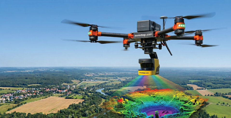
02
LiDAR
Laser pulse ranging generates dense 3D point clouds that penetrate through vegetation canopy — revealing true ground surface even under dense forest cover.
Sensor
240,000 pts/sec
Density
240+ pts/m²
Returns
Multiple return
Range
Up to 300m AGL
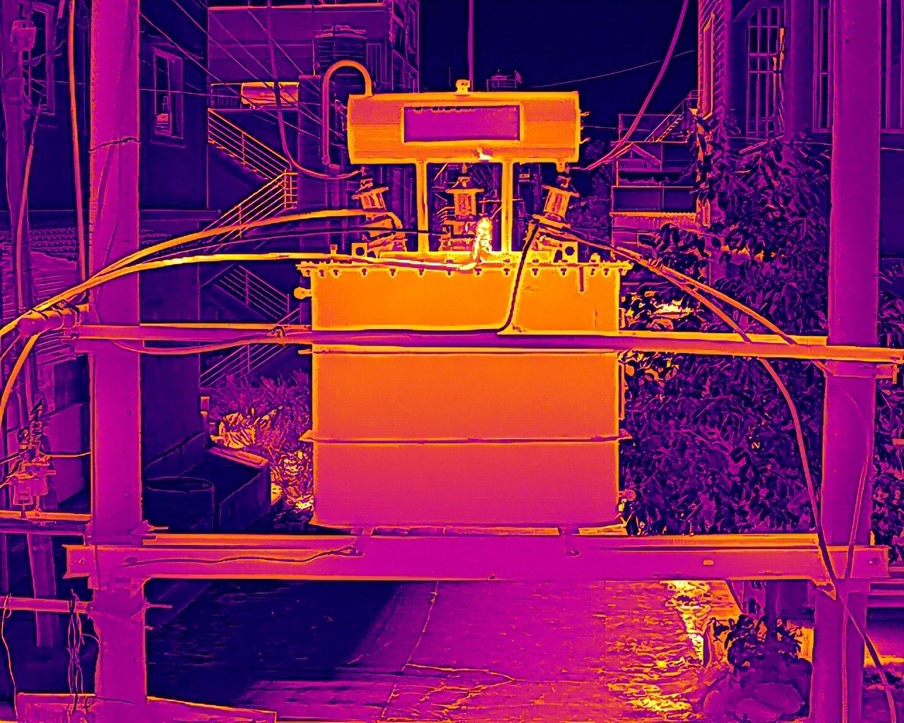
03
Thermal
Dual-sensor design — radiometric thermal and 20MP RGB captured simultaneously. Measures absolute surface temperature, not just relative heat.
Sensitivity
<50 mK NETD
Temp Res
0.05°C
Range
-20°C to 150°C
RGB
20MP simultaneous