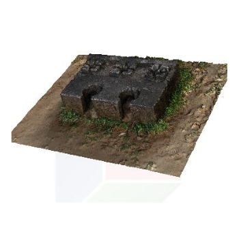
Drone Survey & Mapping
Axesmap – Your Premier Destination for Drone Survey & Mapping Services in Bengaluru, Karnataka!
See What We do
[bafg id=”311″]
Drone Survey & Mapping
Axesmap is your go-to choice for top-notch Drone Survey in Bangalore and comprehensive Drone Inspection services. Based in Bengaluru, Karnataka, we redefine how you perceive your projects and landscapes through cutting-edge drone technology. Contact us for Drone Survey Services.
“Drones can take high definition photos at different angles, creating, millions of data points, including, georeferenced images, elevation points & colors”

Our Services
High Resolution Orthomosaic and Point Clouds allow you to see more details than a traditional survey.
Mining
Monitor the progress of excavation & optimize resource management. Get Volume Estimation & encroachments.
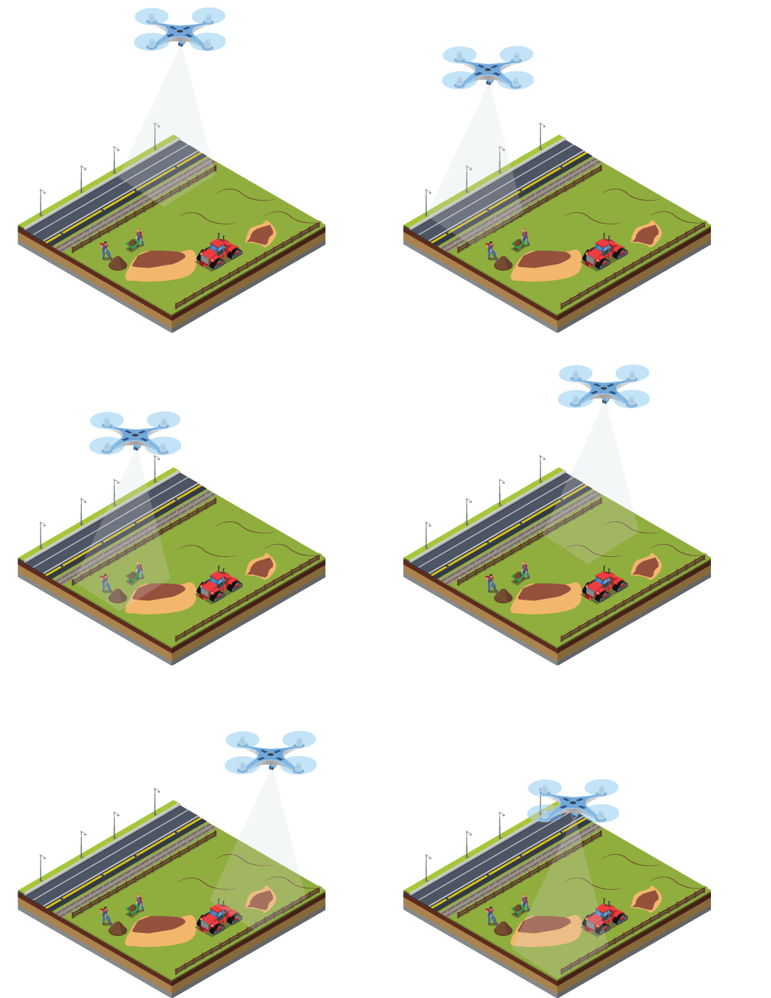
Land Development
Transform Land Development projects. Get site assessments & progress tracking for data-driven decisions.
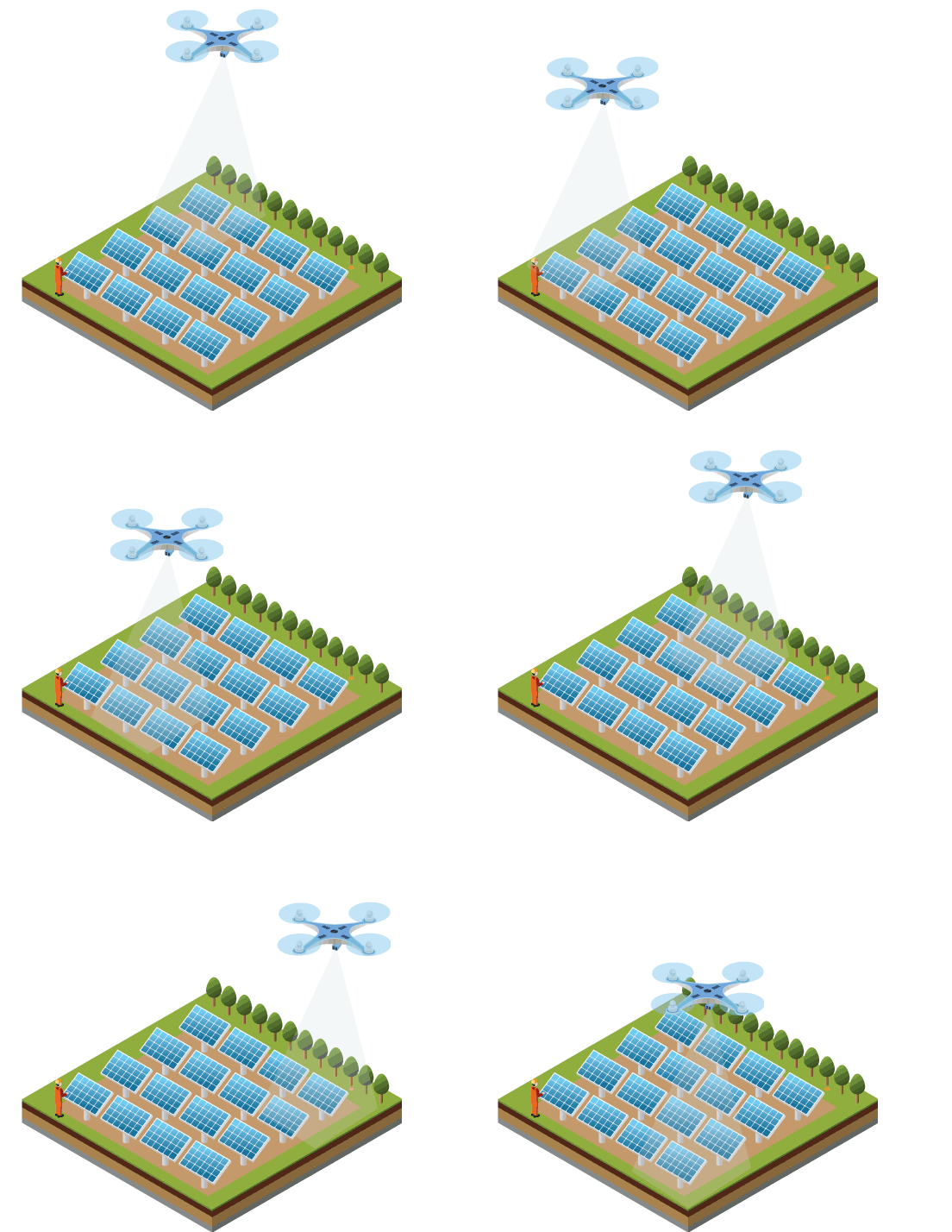
Energy
Stay ahead in the energy sector with our Drone Inspection services. Optimize maintenance & asset management.
Construction
Elevate Construction Monitoring with Axesmap’s drone technology, precision, and efficiency.
Drone Based LiDAR
Precision LiDAR drone surveys & mapping, including corridor scanning & comprehensive LiDAR-based solutions
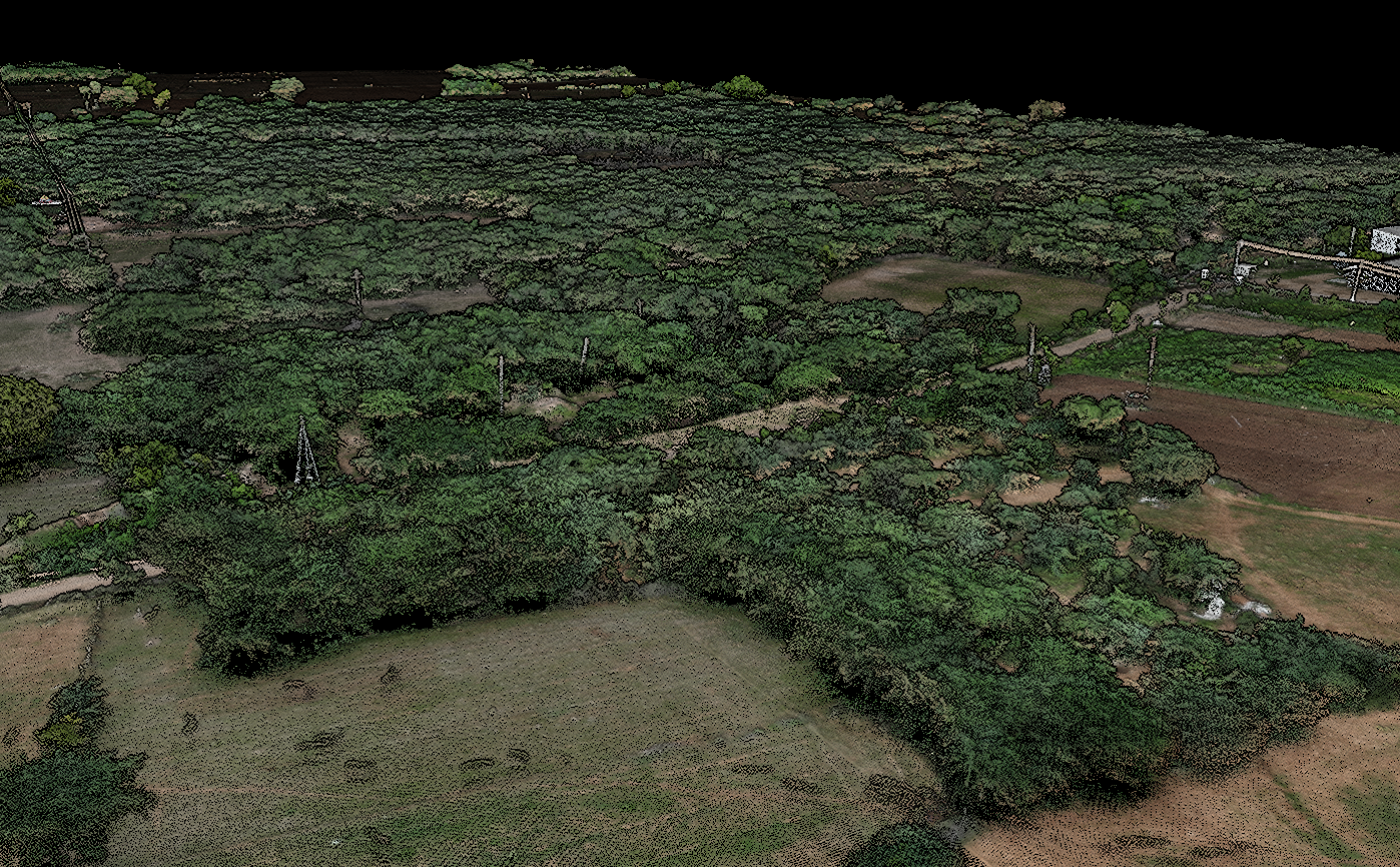
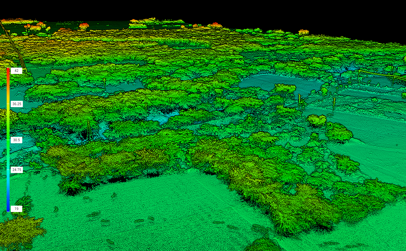
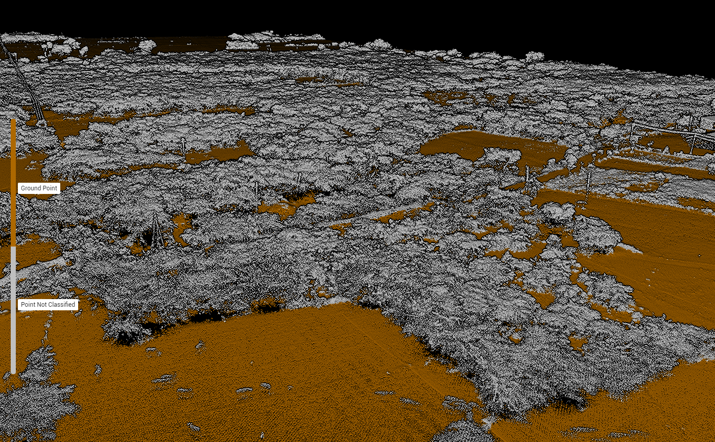
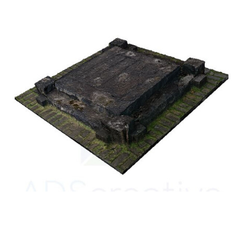
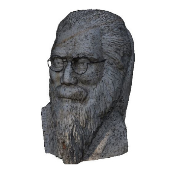
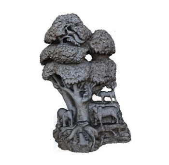
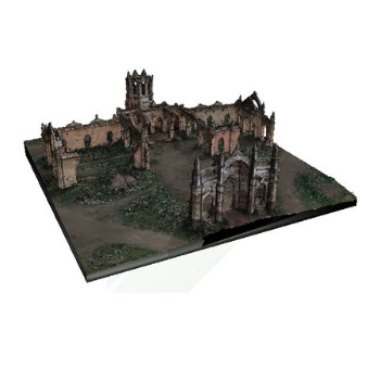
3D Model & Photogrammetry
Photogrammetry combined with 3D Printing & Virtual Reality

Elevate Your Project
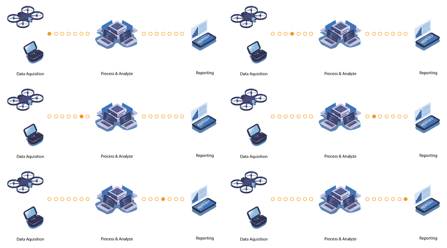
Elevate your view of your build. Whether you are a Survey Company, Contractors, Subcontractors or end user, our Drone based Solutions deliver transformative intelligence in a cost effective way to improve your project output.
High quality data to drive confident decisions for your business
Trusted Partners
Drone Survey & Mapping Services in Karnataka
Ready to elevate your project with precision aerial data? Contact Axesmap, your trusted partner for drone survey and mapping services in Bengaluru, Karnataka. Let's turn your vision into reality with the power of drones.
Don't miss the opportunity to experience the future of survey and mapping. Join the Axesmap family today!

Axesmap
Ejesmapa Technologies Pvt Ltd
Bengaluru 560056
+91 7337731363
hello@axesmap.com
Regional Office: MG Road,
Hassan 573201

