Drones in Energy
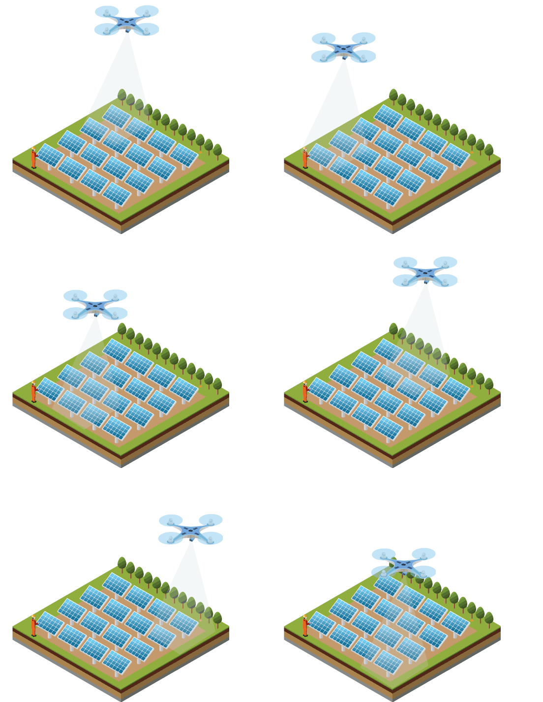
Axesmap drone data solutions for solar power industries.

Drones in Energy
“Drones can reduce the design angle of solar energy projects by as much as 70% and increase team productivity along the way”– Solar Magazine

Our data helps you in
- Planning
- Crack detection – Solar power plant inspection
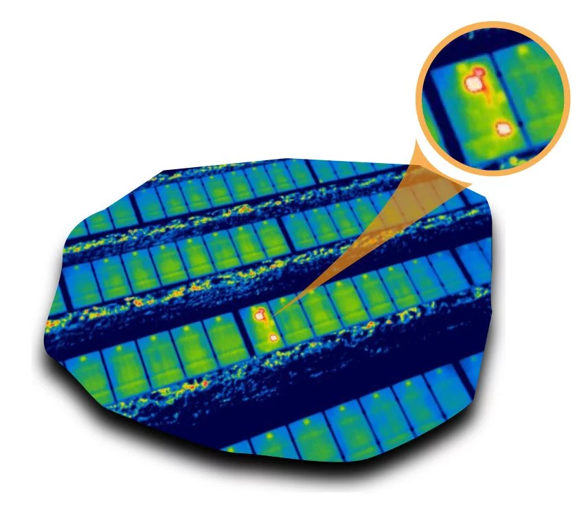
- Solar power plant inspection through thermography to detect faulty PV cells
Improved safety
Solar power in India is an emerging industry. India has an ambitious solar power generation target of 100GW by 2023
Axesmap’s drone solution can help field engineers visualize their project in paradigm-shifting manure, think of then shifting from old hand-drawn portraits to digital photography. Our solution helps engineers to analyze accurate material quantity estimates, manpower needs and safety assessments
Drone Survey & Mapping Services in Karnataka
Ready to elevate your project with precision aerial data? Contact Axesmap, your trusted partner for drone survey and mapping services in Bengaluru, Karnataka. Let's turn your vision into reality with the power of drones.
Don't miss the opportunity to experience the future of survey and mapping. Join the Axesmap family today!

Axesmap
Ejesmapa Technologies Pvt Ltd
Bengaluru 560056
+91 7337731363
hello@axesmap.com
Regional Office: MG Road,
Hassan 573201
