Drone Survey & Mapping
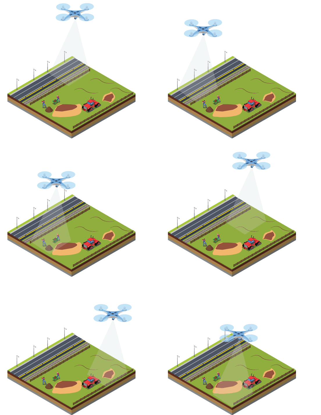
Drones have become an essential tool for land surveyors with a variety of surveying specific UAVs available.

Drone Survey & Mapping
Since drones can go for places more quickly and with less safety risk, these flying taskmasters have improved the survey process tremendously.

Our data helps you in
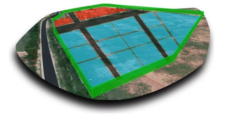
- Earthwork volume calculation
- Elevation mapping
- Surface assessment for drainage modelling
Improved safety
Drone survey will be pivotal to fix locations of village boundaries, canals, canal limits and roads in villages
Fast track your project with useful and actionable data from Axesmap drones.
Drone Survey & Mapping Services in Karnataka
Ready to elevate your project with precision aerial data? Contact Axesmap, your trusted partner for drone survey and mapping services in Bengaluru, Karnataka. Let's turn your vision into reality with the power of drones.
Don't miss the opportunity to experience the future of survey and mapping. Join the Axesmap family today!

Axesmap
Ejesmapa Technologies Pvt Ltd
Bengaluru 560056
+91 7337731363
hello@axesmap.com
Regional Office: MG Road,
Hassan 573201
